A local cyclist is raising concerns about bicycle safety on a recently-repaved stretch of Highway 19A.
In late April, the city installed new blacktop between First Avenue and the Maritime Heritage Centre to replace pavement damaged during last year’s sewer line installation. But the layout of bike lanes remains the same, including an area where bike lanes merge with traffic.
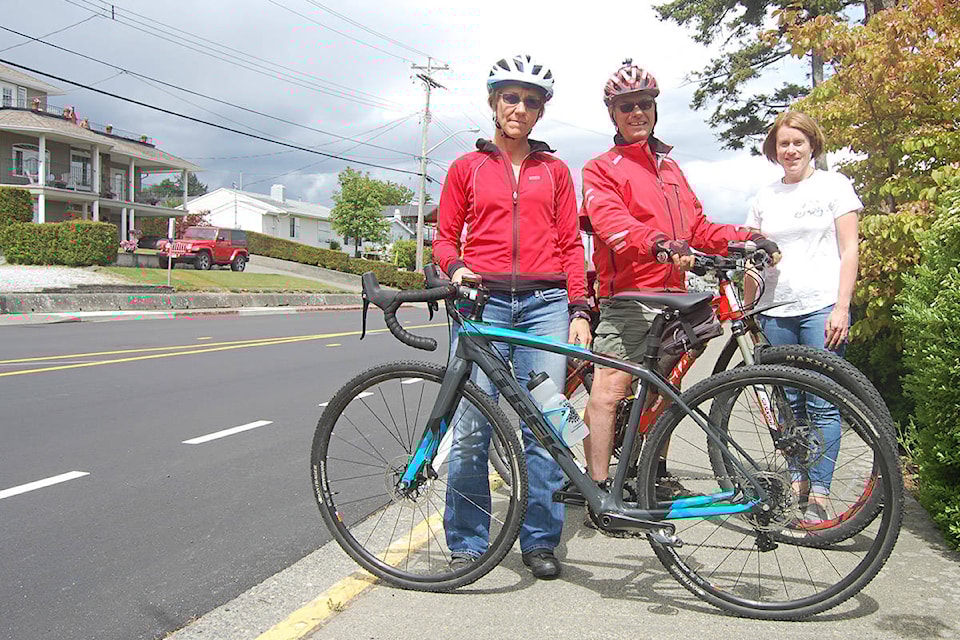
Sandra Milligan, an avid cyclist and North Island College instructor, calls this area dangerous and says the city missed a chance to make it safer.
“There was an opportunity to change and they did not choose to improve cycling infrastructure,” she said in an email to the Mirror.
In an open letter sent by email to members of Campbell River city council and city staff last week, Milligan described riding towards downtown. At a given point, the bike path tapers off, directing cyclists towards the main traffic lane, where a bike symbol is painted on the road.
The symbol, which features two chevron-style arrows above a bicycle – sometimes called a sharrow – indicates the whole lane is shared between vehicles and bicycles, according to a B.C. government website.
But Milligan said that following this symbol “put me directly into traffic.”
From there, she said, she rode tentatively, “with cars driving very close as there is no line to separate cyclists from cars.”
In an interview with the Mirror, she suggested changes, including more space for cyclists and clearer warnings about the shared-use area painted on the roadway.
She pointed to other municipalities, ranging from Victoria to Shanghai, as examples that Campbell River could follow.
Drew Hadfield, director of operations for the City of Campbell River, said in an email that “bicycle facilities along this roadway have not changed from what they were previous to the repaving.”
He said that since the work didn’t involve widening the road or reconsidering its use, there was no public consultation.
But staff always look for ways to improve safety, he said, and improvements on the Island Highway linked with the repaving project included new crosswalks.
He also cited changes including new bike lane markings in both directions from Sixth Avenue to the Maritime Heritage Centre, where the lane transitions to a shared-use area through downtown.
READ MORE: Hospital parking makes cyclists unsafe, says RCCC
READ MORE: Have your say on making a walkable/bike-friendly community
There is street parking for vehicles between Fifth and Sixth Avenue, where the bike lane is interrupted. Hadfield said those parking spots are now better delineated with painted lines.
“This helps to better define the parking areas and will move vehicles closer to the center line,” Hadfield said.
He said this should leave more room for the shared-use section of the road marked with sharrows.
“When we repaved this road, we did look at the opportunity to add bicycle lanes but the existing roadway was too narrow to accommodate all the uses,” Hadfield said, adding that standard bike lanes are 1.5 metres wide, while there’s only one metre of space along that stretch. Asked why there is street parking along that part of the highway, he said parking is in demand for residents on both sides because of limited space on their properties. He added that markings and signage for the shared-use section of the road has been in place for two years.
Milligan pointed out that cars were driving inside of yellow construction hash marks on the highway, narrowing the area available for cyclists. Hadfield said those are temporary marks that will be removed in the near future.
Mayor Andy Adams said the city could have done a better job at consulting with cyclists and other residents about the repaving project.
In an emailed statement to the Mirror, Adams said that repaving the highway was an “opportunity to take a more wholesome look at how this stretch of roadway is laid out, and if there are ways to make improvements.
“In this regard, I don’t think the city did a very good job in engaging the residents, the cycling and local pedestrian community, to use this as an opportunity to find innovative ways to implement change,” Adams said.
On Friday, the Mirror observed as cyclists arrived at the area where the bike lane merges with traffic. Some joined the traffic, while others paused and then continued by riding on the sidewalk.
According to the BC Cycling Coalition’s Bike Sense website, it’s illegal for cyclists other than police and paramedics to ride on sidewalks “unless specifically directed to do so by a sign or local bylaw.”
Cyclists who ride on sidewalks face a greater risk of collision, especially at driveways and intersections, because they surprise motorists and pedestrians by coming from an unexpected direction, according to Bike Sense.
Other cyclists echoed Milligan’s concerns about Highway 19A, including Carla Valentine, who suggested that it would be safer for a bike path to pass between parked cars and the sidewalk, a design she said is often used in Copenhagen, a famously bike-friendly city.
Motorists also expressed concern about the area of highway, including Courtenay resident Jill Ambler.
“I think it would be tight with a big truck coming down if there’d been bikes,” Ambler said after stepping out of a vehicle at the Maritime Heritage Centre parking lot. “It’s scary as a bike rider to be pinched between two cars like that, or two vehicles.”
In her open letter, Milligan called on city leaders and senior staff to embrace a “cyclists and pedestrian friendly” way of thinking for any change in infrastructure.
“If city leaders talk the talk then that will filter down to all staff members and everyone will ask themselves, ‘Is this the best we can do to support healthy lifestyles and healthy environments?’ on all of their projects.”
According to the city’s master transportation plan – a 2012 document guiding infrastructure design – cycling accounted for about 1.3 per cent of all trips to work in Campbell River.
That leaves a lot of room for growth, especially for shorter trips.
More than 50 percent of trips in Campbell River — by all modes, including cars – are less than 5 km in length, while 83 per cent are less than 10 km, according to the document.
Municipal design standards require the street system “to allow for safe and efficient bicycle use on the roadway.”
Design standards also state that “major collector roads and urban arterial roads are required to have bicycle lanes, measuring 1.4-1.5 metres in width, on both sides of the street, as well as an optional multi-use pathway.”
@davidgordonkoch
david.koch@campbellrivermirror.com
Like us on Facebook and follow us on Twitter