Residents of parts of East Vancouver Island, including Campbell River, are being warned of high winds starting Sunday morning expected to continue through to Monday afternoon.
Environment Canada issued a special weather statement on Oct. 23 for three parts of East Vancouver Island: Courtenay to Campbell River, Duncan to Nanaimo and Nanoose Bay to Fanny Bay. Very windy conditions are predicted for Vancouver Island and neighbouring regions along the Straight of Georgia.
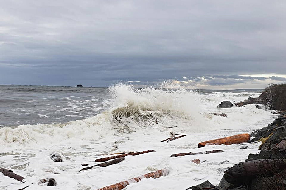
The warning is due to a rapidly deepening low pressure system from the Pacific that will approach Vancouver Island on Sunday. Rain and strong winds will start Sunday morning.
Environment Canada is warning of southeast, 70 to 90 km/h winds with gusts exceeding 100 km/h over West and North Vancouver Island.
Easterly winds of 60 km/h with possible gusts to 90 km/h will develop over East Vancouver Island, the Sunshine Coast and over southern Vancouver Island near Juan de Fuca Strait.
Winds will ease near Juan de Fuca Strait by Sunday afternoon but persist elsewhere.
As the system moves closer Sunday night, the strong winds will strengthen over the inner south coast on Monday morning. Western sections of Metro Vancouver and southern sections of Howe Sound will have their strongest winds Monday morning with gusts to 80 km/h before easing Monday afternoon.
Please continue to monitor alerts and forecasts issued by Environment Canada. To report severe weather, send an email to BCstorm@canada.ca or tweet reports using #BCStorm.
READ ALSO: ‘Potentially historic’ storm brewing off Vancouver Island should calm before landfall
sean.feagan@campbellrivermirror.com
Like us on Facebook and follow us on Twitter