It all starts at the river.
That’s the message the Campbellton Neighbourhood Association is trying to drive home.
But the potential of the river – a jewel in the heart of Campbellton – is being choked out and overgrown with weeds, brush and other foliage.
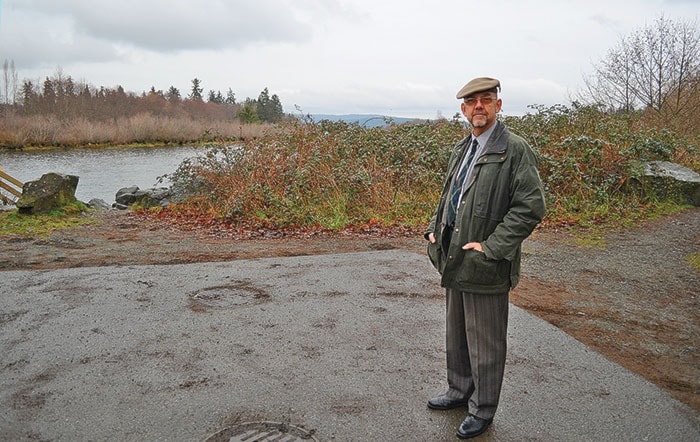
Brian Shaw, co-chair of the Campbellton Neighbourhood Association, told council at its Monday night meeting that the group would like to see better access to the Campbell River which could, in turn, prove to be an economic driver for the northern end of the city.
“It becomes the first step, you start at the river, it brings tourism,” Shaw said. “That brings more people in, that makes it more attractive to business (and) to young families moving into the area looking for a good place to live.”
The Campbellton Neighbourhood Association is proposing to install five different viewing platforms along the river in order to make it more accessible to tourists and Campbell River residents.
Currently, there are no view points along the south shore of the Campbell River between the end of Myrt Thompson Trail and the logging bridge upriver.
Shaw told council that there are two areas along the river that the association would like the city to pay attention to.
“The first would be the MOH (Ministry of Highways) and city lands west of the bridge right of way heading north along Tamarac Street,” Shaw said. “The MOH parcel, which was utilized as a laydown yard when the bridge was being constructed, needs to be acquired by the city in the near term.”
Shaw said the Neighbourhood Association has a vision to develop a small park area off the road near River Sportsman and the bridge that connects Campbellton with northern Campbell River.
“Conceptual site planning work illustrates that the site would work well for a Tourist Information Centre with access off of Enns Road,” Shaw said. “The site is large enough to accommodate a 2,000 plus square foot building with ample vehicle parking and landscaped boulevards. An extensive park area could be developed along the Campbell River with a lookout platform at the river’s edge and a walkway heading south under the bridge structure.”
But, before the association can move forward with those plans, Shaw said the city would need to acquire those lands and take the lead on producing a detailed site plan. The second area the Campbellton Neighbourhood Association is looking at is at the end of Maple Street and the Myrt Thompson Trail.

This view of and access point to the Campbell River needs some infrastructure to encourage visitors and residents alike to appreciate the spot at the Myrt Thompson trailhead.
“We need to create a site plan and design, to construct a fishing and outlook platform along the Campbell River and to undertake substantive improvements on the Myrt Thompson Trail,” Shaw said. “This project would involve close consultation with Campbell River Indian Band as owners of the land base, given the need for a new parking lot on band land at the entrance to the trail system.
“The River Corridor Plan for this area needs to be compatible with the plans the band has to develop the area.”
Shaw said a detailed site plan, design and construction budget could be prepared by an architect for roughly $16,000, but again, the city would have to be willing to take on the costs in order for the Campbellton Neighbourhood Association to move forward.