Public review of and comment on forestry development in British Columbia just got easier.
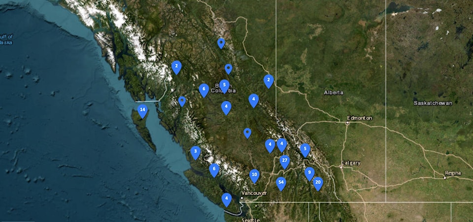
A new Forest Operations Map online portal has gone live, allowing the public to use it as an online resource. But also to review and comment on proposed cutblocks and forestry roads around the province. The public can submit comments online instead of by mail. It also offers greater transparency about these proposals and what they entail, such as roads, mapped areas of harvest, and estimated harvesting times.
Maps must include the general geographic area with the approximate locations of proposed cutblocks and roads, approximate periods during which timber harvesting or road construction is intended to take place, the identification of the Forest Stewardship Plan holder who prepared the map, and the identification of the Forest Stewardship Plan to which the map pertains.
RELATED: Eby talks wildfires, forestry and how Indigenous deal can be a B.C. template
The public can still submit comments on forest operations by mail/e-mail, and information will still be made public in person at district forestry offices and through local newspapers.
The portal was created as part of the Forest and Range Practices Act (FRPA) as one of the amendments to improve forest and range operational planning and practices. The portal’s development was a collaboration between forest tenure holders, industry professionals, and stakeholder groups.
RELATED: Wildfire-damaged timber salvaging to get easier in B.C.