The Strathcona Regional District has chosen a partner to undertake floodplain mapping near Sayward.
McElhanney Consultants Ltd. was chosen to do the mapping work for the Salmon and White River floodplain that encompasses Electoral Area A, the village of Sayward and the traditional territory of the K’omok’s First Nation.
“Mapping is only one component of this project” said SRD Chair Brad Unger. “It will also include public engagement, options to mitigate the risks and a bylaw review of the current Village of Sayward development bylaws. The public engagement component will enable the community to learn about flood mitigation strategies.”
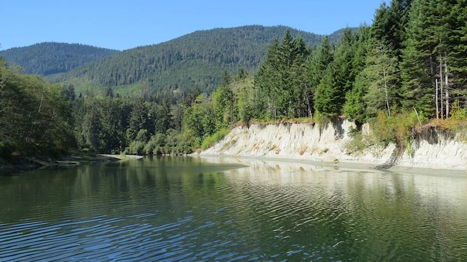
The mapping will help with the upcoming review of Sayward’s Official Community Plan, as well as future development, infrastructure planning and emergency planning. The project will be an update to mapping done in 1980 by the province that is now outdated. Modern criteria will be used, as well as climate change and sea level rise data and projections.
“Flooding in Sayward leads to rising waters in the Salmon River causing road closures and other disruptions in Sayward. The last significant floods in 2014 and 2016 resulted in road closures and isolation for Sayward residents for several days. This is an inconvenience that puts people at risk and could lead to property damage” said Mark Baker, mayor of the Village of Sayward.
RELATED: Construction contract awarded for SRD’s Connected Coast project
More money added to SRD tsunami mapping project
marc.kitteringham@campbellrivermirror.com
Like us on Facebook and follow us on Twitter