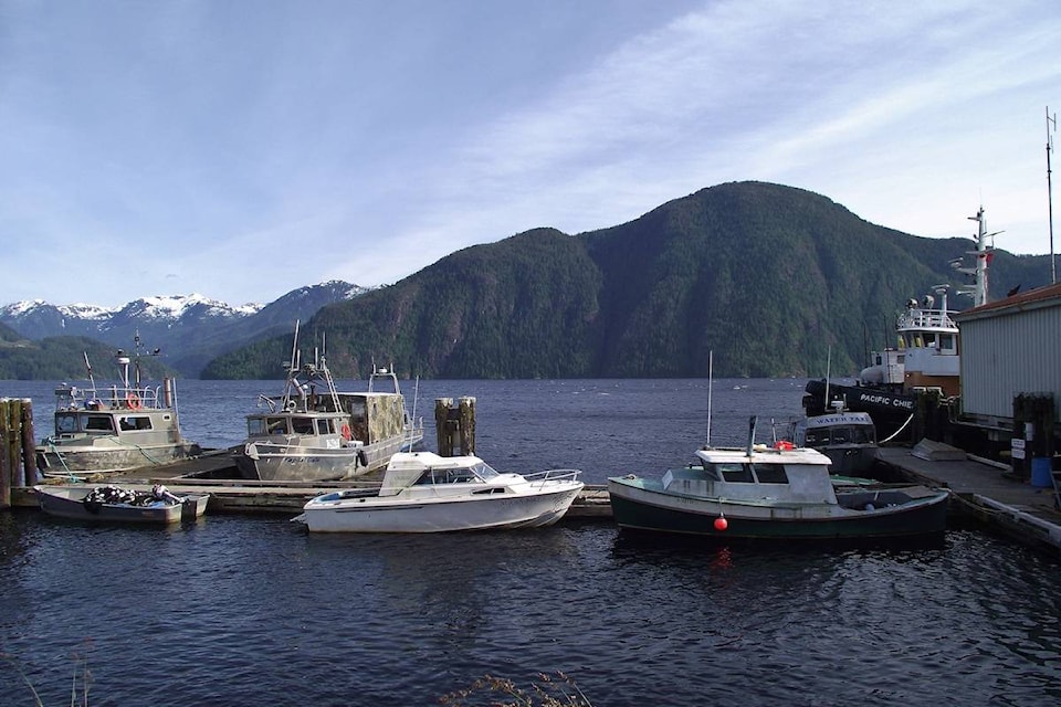
The Strathcona Regional District (SRD) will undertake high-resolution tsunami modelling from Yuquot/Muchalat Inlet near Gold River to Cape Scott Provincial Park after receiving a Flood Mapping grant from the provincial government on July 9, said Shaun Koopman, protective services coordinator for SRD.
The SRD will be partnering with a couple of Nuu-chah-nulth First Nations, including the Nuchatlaht and Kyuquot Checlesaht First Nations.
To undertake the year-long, $450,000 project, the SRD board is considering engaging the services of Northwest Hydraulics Consultant and Ocean Networks Canada.
Despite North Vancouver Island’s proximity to the Cascadia Subduction Zone- where two tectonic plates collide- no survey has been undertaken yet, said Koopman.
“To date, there are no high-resolution, data-based models for many sites on the northwest coast of Vancouver Island that are considered highly vulnerable to tsunamis and from both a planning and impact assessment perspective, this lack of data has limited the ability of public and private entities to prepare science-based tsunami emergency plans,” said Koopman.
Even though the SRD has made a lot of progress in communicating risks with their mass notification system and offshore sensors, there is still no knowledge of how impactful a wave will be, said Koopman.
The mapping will be based on seafloor and aerial surveys. An assessment of present-day ‘king tides’ (highest tides) and those predicted after sea level rise by 2100, will also be analyzed.
Earlier in June, the provincial government announced funding for 24 local governments and First Nations to assess flood hazards in order to develop effective strategies. The SRD and First Nations were each approved for $150,000 as part of this grant to undertake a tsunami mapping project along northwest Vancouver Island.
READ MORE: Zeballos and Tahsis included in $3.46 million provincial emergency preparedness funding
With many communities, located along the west coast of Vancouver Island, vulnerable to coastal storms, tsunamis and climate-induced changes, the fund to undertake a high-resolution tsunami modelling will help these places be better prepared for emergency response.