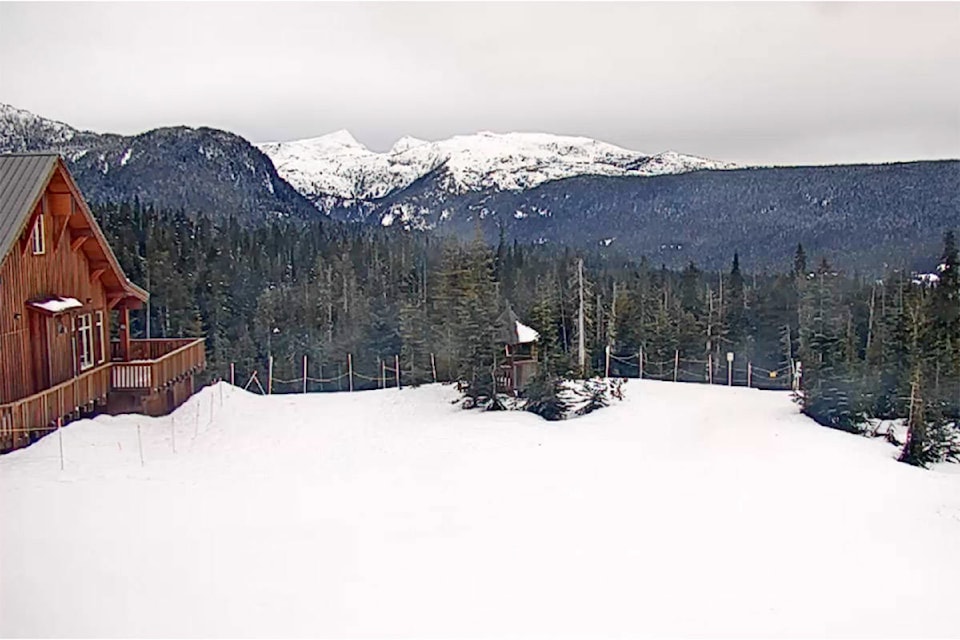
The snow blanketing surrounding mountains could see an appearance in town. In a special weather statement this morning, Environment Canada said there is “potential snow for the B.C. South Coast Thursday night.”
The forecast calls for lower temperatures in the coming days as a “low tracking south along the B.C. coast” spreads moisture across the region starting Thursday night.
“While there may be a few light flurries mixed with rain tonight, the first real opportunity for widespread low elevation snow is shaping up to be Thursday night,” the special weather statement said.
Snowfall amounts are expected to vary by region. Environment Canada said higher elevation areas on Vancouver Island could see more than of five centimetres of snow Thursday night.
That snow is expected to change back to rain Friday morning, but with more cold weather forecast on the horizon, the snow may return.
Environment Canada’s current forecast calls for a low of -8 C Sunday night with Monday’s high at -1 C.
@marissatiel
marissa.tiel@campbellrivermirror.com
Like us on Facebook and follow us on Twitter.