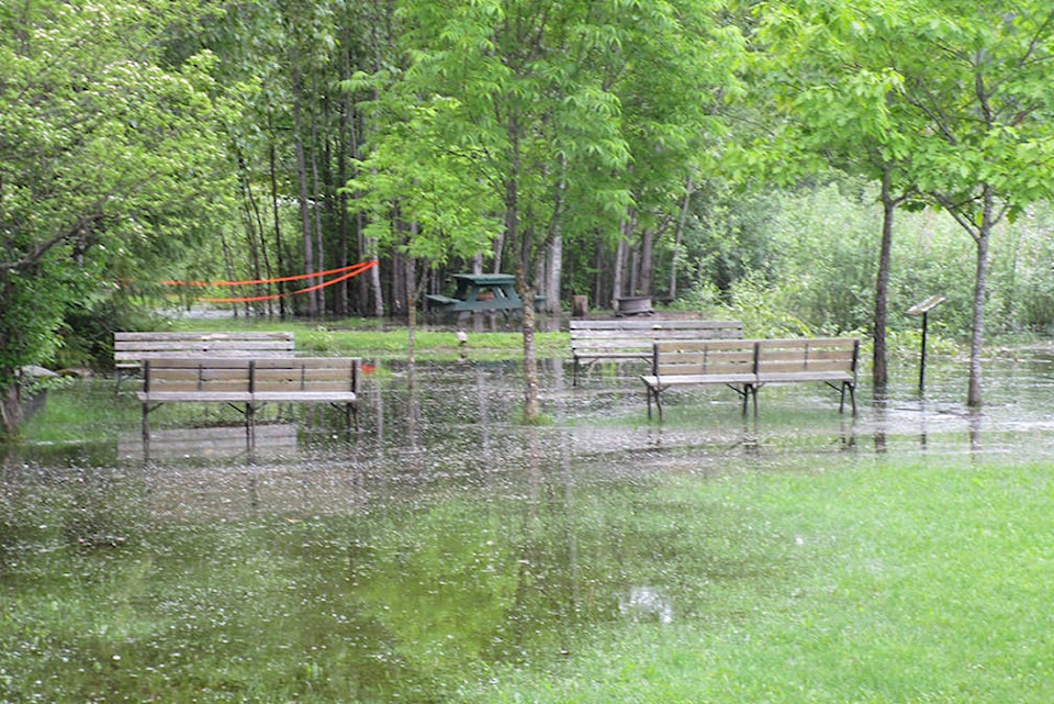
Heavy rainfall has caused rivers to surge across much of B.C., washing out roads and putting many communities on alert.
The River Forecast Centre has issued flood warnings, its highest alert, for the areas around the upper Fraser River and Quesnel River, including an area near Prince George.
It says significant rainfall has fallen across the Interior and the northeast, with more “unsettled” weather in the long-term forecast.
Rapidly rising river levels in headwater areas were expected to continue, with larger rivers rising into the weekend.
Flood watches were also in place for the Peace region, Chilcotin River and its tributaries, the Fraser mainstem from Prince George to Boston Bar, and the middle Fraser and its tributaries, including in the areas around Williams Lake and 100 Mile House.
The River Forecast Centre says larger river systems in the Thompson region reached up to 10-year and 20-year flows last weekend due to snowmelt and rainfall. Since then, most flows have dropped but were rising again and a flood watch remained in place for the Thompson River, including the area near Kamloops.
Environment Canada has issued rainfall warnings for the Peace River, Fort Nelson and the area of Muncho Lake Park and Stone Mountain Park.
An additional 20 to 40 millimetres of rain was expected to fall Friday over those regions, it says.
A persistent low pressure system over Alberta has led to several days of heavy rain and 40 to 80 millimetres have already fallen there since Wednesday morning.
After a brief break in Thursday afternoon, widespread showers redeveloped overnight and were expected to continue into Saturday until the low pressure system weakened, Environment Canada says.
It says heavy downpours can cause flash floods and water pooling on roads, and warns of possible washouts near rivers, creeks and culverts.
DriveBC says the Trans Canada Highway was closed in both directions near Revelstoke, while mudslides and washouts have closed several other roads including the Heritage Highway 68 kilometres north of Tumbler Ridge and North Bonaparte Road near 70 Mile House.
Many inland ferries were also out of service due to high water, including the Lytton ferry and Big Bar Reaction ferry.
The B.C. government issued a statement early Thursday evening that says in addition to the areas subject to flood warnings and watches, there were high lake level conditions and high streamflows throughout much of the province.
“Water levels rising in these areas are high and very fast moving, so people need to take extra caution right now and be prepared,” said Public Safety Minister Mike Farnworth.
“I want to stress that any sort of recreation on these waters is highly dangerous right now, so let’s make sure we’re not taking any unnecessary risks.”
Communities should be prepared for possible evacuation orders and alerts, it says.
Amy Smart, The Canadian Press
Like us on Facebook and follow us on Twitter.
Want to support local journalism? Make a donation here.