Remember what Campbell River looked like from the air in 1950?
No? Well, thanks to the city’s geographic information services department, now you can find out.
The City of Campbell River recently launched a new air photo history webmap, capturing images of the community’s development for more than 65 years.
This interactive webmap includes photos starting from 1950 with additional images before 1980, and more from 1994, 2002, 2005, 2007, 2012 and 2014, according to the release about the project.
“The catalyst for this project was the continuing requests from the public for old maps of Campbell River,” says Warren Kalyn, the city’s information technology manager. “Since it’s very interesting to see how the community has changed over time, making these easily available online was a logical next step.”
Kalyn says that while most of the images on the maps are relatively recent, the city expects the maps to be fleshed out over time as more contributions to the collection are acquired.
“We actually have a pretty significant number of aerial photographs,” Kalyn says. “We have quite a few that are still waiting to be added to the collection that’s up there, and we’re actively pursuing even more. If people have some that they’re willing to contribute, we definitely encourage that, so we can continue to flesh out the collection.”
The interactive nature of the aerial maps allows the user to choose an aerial photograph from a particular year, and then add or subtract labels such as place names, landmarks like schools or recreation facilities, street names and other information.
You could see what the area around Strathcona Gardens looked like from the air in 1950, for example (hint: it’s pretty much just trees).
“It’s pretty cool to see the way that Campbell River has developed over time, especially when you’re looking at it from overhead in photographs,” Kalyn says.
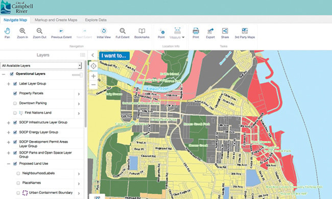
The new aerial photograph webmap adds another dimension to the maps that are already available on the city’s website, including maps of zoning and utilities information, parks and recreation areas, firearms boundaries and an in-depth webmap of the community’s Sustainable Official Community Plan (SOCP).
Another new dimension to the city’s map resources the public can take advantage of is their new “Park Finder” tool, which allows users to enter an address, activity they’d like to participate in or just “Locate” the closest park to them with one click. The tool is available on your computer’s desktop or from your mobile device and will help you find the best outdoor space for your needs, whatever and whenever they are.
These maps and tools are all available at campbellriver.ca/city-services/maps, along with links to YouTube video tutorials on how to make use of them.
For inquires and webmap support, call 250-286-5700 and ask for the geographic information services staff.